OUR WORK
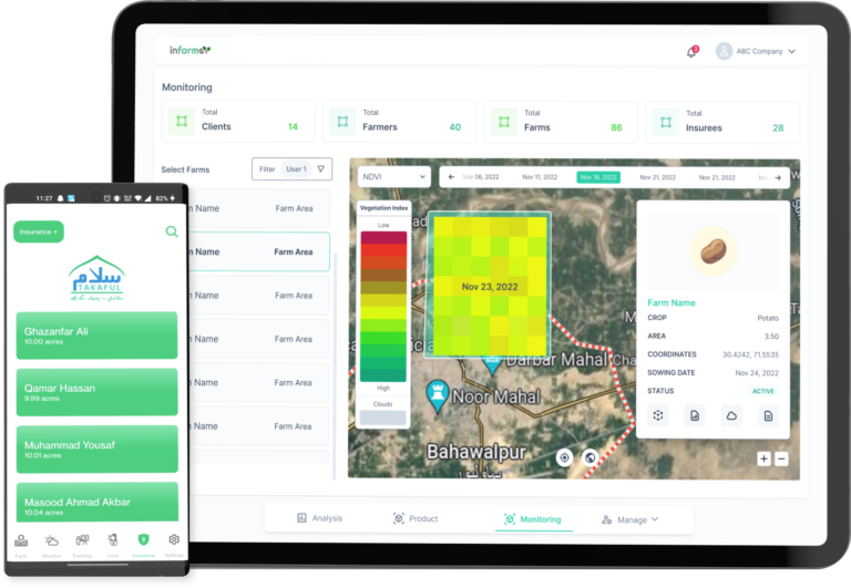
We take the worries of regular monitoring of crops away from the farmers and let our models and system do this job for them.


Clients and Partners


BUILT WITH BRAINS
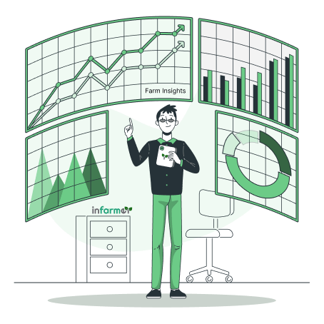
How It Works
Our goal is to combine all sources of data and information about your farm at one place, identify and attend to possible problems and advise how to solve them.
GET RESULTS
Our Solutions
SMART AGRICULTURE
Our Products
Climate Smart Agriculture App:
Monitoring and Assessment Portal: